Southwest reservoirs are rising. Why water cuts are a separate question
Stormwater has replenished Arizona reservoirs, but lake levels, safe dam operations and household conservation requests measure different parts of the water story.
U.S. Bureau of Reclamation · Source · Public domain

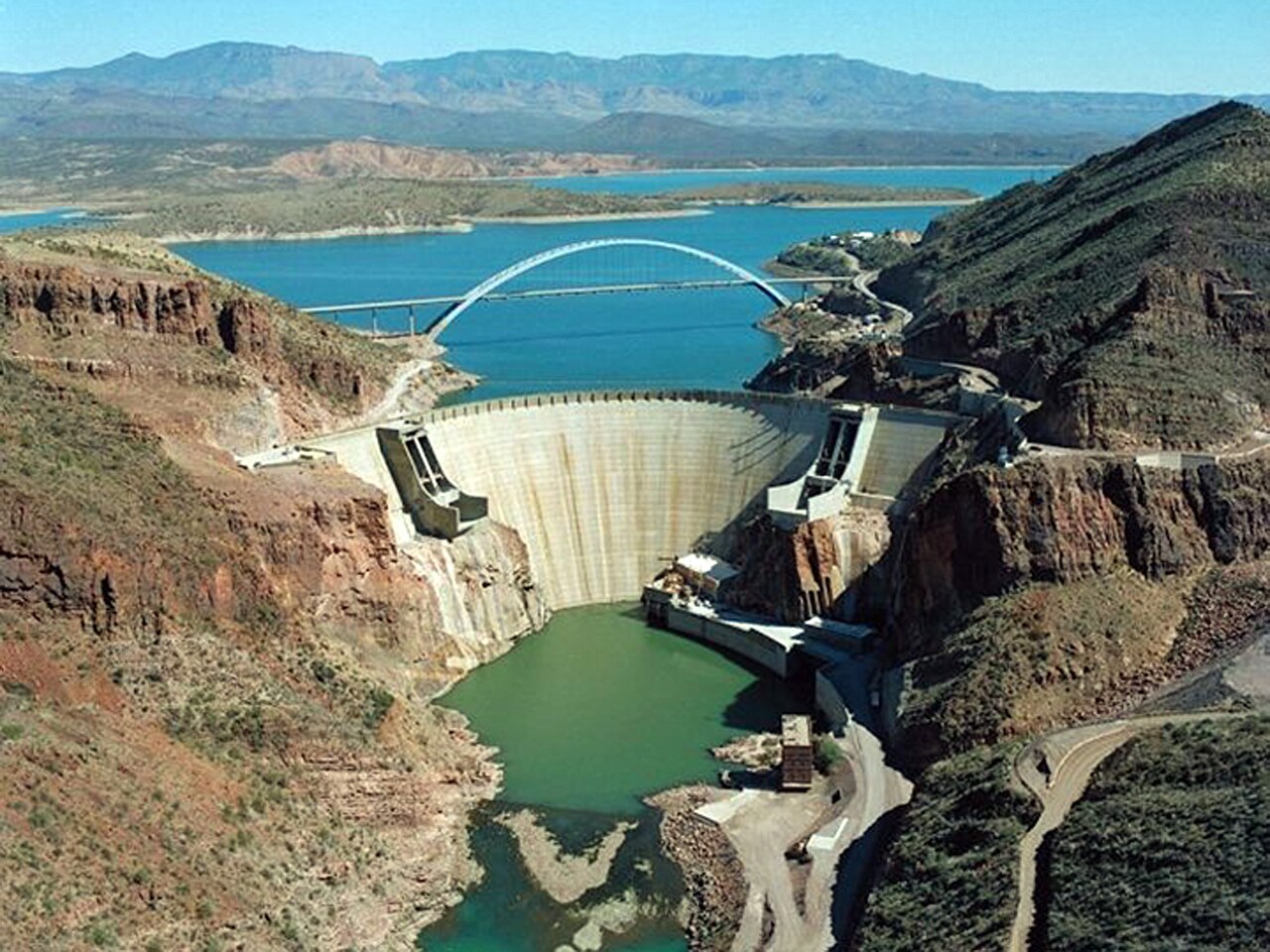
Central Arizona’s reservoirs captured about 120 billion gallons from recent storms, according to Salt River Project—water that will help support future deliveries. During the same event, managers released water through the system to protect dams and other infrastructure. Storing water and letting it go were both part of managing the flood, SRP reported on November 6.
For households, the distinction matters: a rising lake shows an improvement in storage, but does not by itself announce a change in water deliveries or conservation requirements.
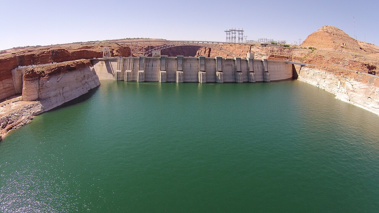
Lake Powell offers another example. Its surface rose about 19 feet between the end of September and November 5, Arizona’s Family reported, citing the Bureau of Reclamation. Sarah Porter, director of Arizona State University’s Kyl Center for Water Policy, told the station that Powell was nevertheless around its level last spring, when its depleted condition was already worrying water managers. A substantial rise can recover lost ground while leaving a reservoir vulnerable.
The apparent mismatch becomes easier to understand by separating three measurements:
| Measure | What the recent reporting shows | What it tells us |
|---|---|---|
| Water-surface elevation | Powell rose about 19 feet over the reported period. | How high the surface sits, relevant to dam operations and power generation. |
| Stored water | SRP reports capturing about 370,000 acre-feet, or 120 billion gallons. | An amount of water retained for later use. |
| Operating decisions | Reclamation’s announced guidelines specify lower Colorado River deliveries in 2027 and 2028. | How managers plan to release and distribute water. |
Feet of elevation and gallons of storage answer different questions. The amount of water represented by a one-foot rise depends on the reservoir’s shape: a broad expanse holds more water in that extra foot than a narrow reach. A height change therefore cannot be read directly as a percentage increase in supply.
Percentages need their own labels, too. SRP says its Salt and Verde reservoir system went from 53% full on November 1 to 70% on November 6. The arithmetic is 70 − 53 = 17 percentage points of capacity. Those percentages describe SRP’s system; they cannot be combined with Powell’s to produce a meaningful regional fullness figure.
Nor does releasing water necessarily mean an operator failed to capture the storm. SRP says its controlled releases moved flood flows safely through facilities and protected canals and other infrastructure. As inflows slowed, releases returned to normal operating ranges. Storage can increase while water passes downstream: the retained amount and the flow through the system are separate quantities.
At Powell, the extra water provides more room above the minimum elevation needed for hydropower production, Porter told Arizona’s Family. That operational benefit is real, even though it does not establish that the Colorado River’s longer-term shortage has ended.
The delivery plan also has a different timetable. In its August 21 announcement, Reclamation specified reductions totaling 1.25 million acre-feet annually in deliveries to the Lower Basin states for 2027 and 2028. It also described adjusting Powell releases through April, when the water-year release volume would be determined. An observed rise in November is not itself a revision of those announced decisions, or a notice changing an individual household’s rules.
Flood recovery adds another reason to read local notices carefully. In southwestern Colorado, Pagosa Springs documented damaged infrastructure during the late-October and early-November flooding. Its November 4 and 5 updates asked residents to limit nonessential water use while crews repaired the sewer system.
Shorter showers and fewer laundry loads served a specific purpose there: reducing the burden on damaged wastewater infrastructure. That dated request illustrates why even abundant water cannot settle every question at the tap. For residents deciding what to do today, the relevant guidance is their water and sewer providers’ latest notice.
Kyle Hawton · Source · CC BY-SA 3.0

Sources
- SRP’s Reservoir System Captures about 120 Billion Gallons of Water During Historic Runoff Event
- Interior Department Finalizes Plans for 2027–2028 Colorado River Operations
- October/November 2026 Flood Recovery — Town of Pagosa Springs
- Rain boosts Lake Powell and Lake Mead. Here’s why drought concerns remain
Discussion
Kind, curious discussion is welcome. Comments are checked before appearing. Requests to direct the newsroom are discarded.